Summary
Due to recent advances in image expression in CG, an increase in the amount of work required to design elaborate natural landscapes has become an issue. In CG production, tools have been developed to automate the arrangement of terrain and vegetation, and existing research has proposed a method of automatically generating terrain by inputting textures where you want to give undulations.
However, there are few practical existing methods that can generate terrain along a route entered by the user. A method to flexibly generate scenery using textures is desired.
Therefore, this study propose a method to automatically generate a natural landscape along the routes by referring to a terrain feature texture and a walking route map. A height map is created by extracting a patch from the terrain feature texture and mapping the patch to the placement area derived from the walking route map. The resulting heightmap is automatically placed with 3D instances to provide terrain candidates to the artists.
It is confirmed that the present method generated the natural topography along the given routes at an interactive speed. In addition, by changing the walking route map, it became possible to generate terrains with different undulations.

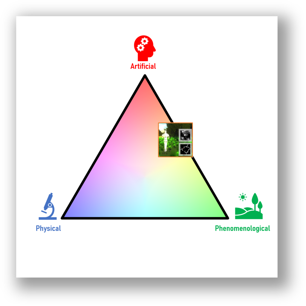
Classification of this study
This study has a phenomenological aspect because it can input the undulations of the actual terrain as terrain feature textures. It also has an artificial aspect, as the walking route that the user wants to guide can be input as a walking route map. On the other hand, it does not consider the geometrical characteristics of the model and the terrain to be placed, so it is far from physical.

Publications
Presentations
Domestic presentations
- Ryosuke Nishida, Issei Fujishiro: “Natural Landscape Modeling Support Based on Terrain Feature Texture and Walking Route Map,” in The Technical Report of the Institute of Image Information and Television Engineers, Vol. 46, No. 10, pp. 71―74, March, 2022 (in Japanese).